
By David Shipway & Bruce Ellingsen
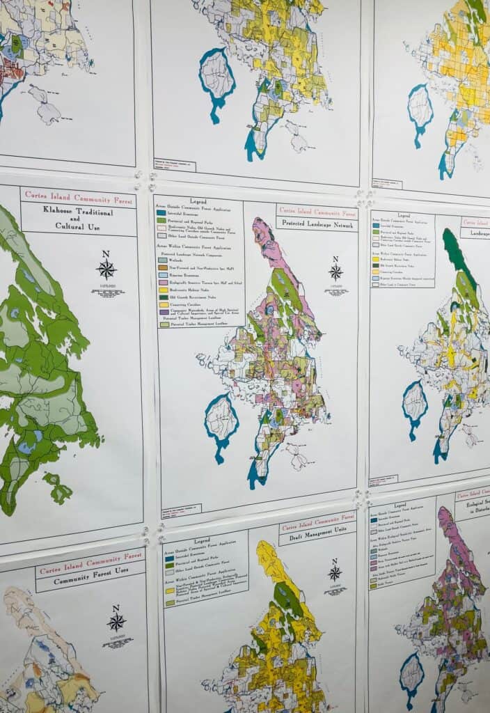
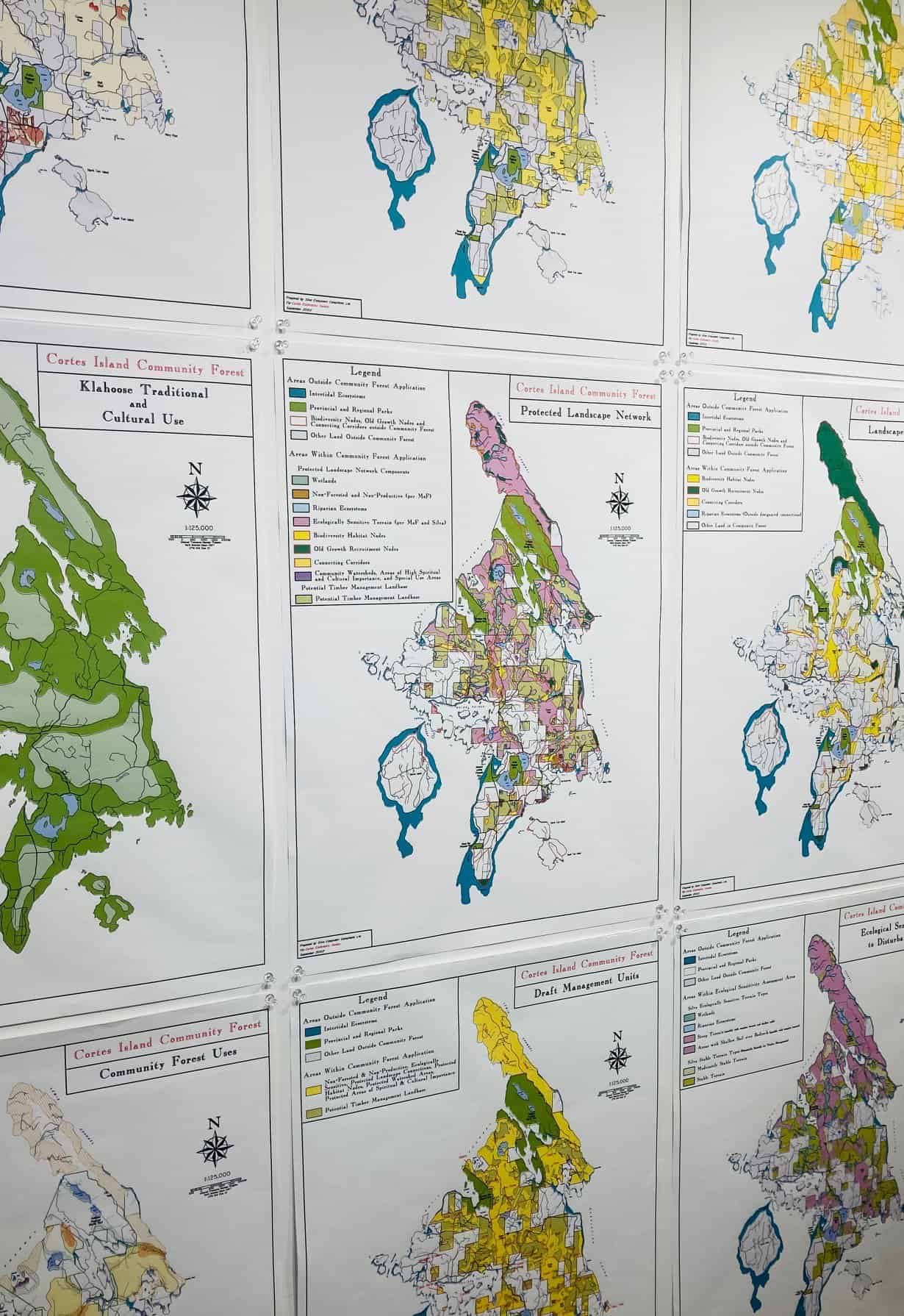
In 1994, the Cortes Island Forest Committee (CIFC), a working group of the Cortes Advisory Planning Commission, raised $13,000 in local donations to start analyzing and mapping the ecosystems of Cortes Island. West Coast Environmental Law generously matched the funds for this project. Silva Forest Foundation’s consultants were hired to prepare an Ecosystem-Based Forest Management Plan for the whole of Cortes Island, since neither Ministry of Forests (MoF) nor private forest landowners were looking at the bigger picture. This plan was completed in 1996, and the detailed, multi-layered information contained in it proved most useful in future conversations with MoF, off-island corporate landowners, and within our community. A set of large maps were created for public display and further consultation.
In 1999, the ad-hoc CIFC became the Cortes Ecoforestry Society, and subsequently signed a Memorandum of Understanding with the Klahoose First Nation to work together on using this Ecosystem-Based Forest Management Plan in an application to the provincial government for a Community Forest Agreement, a new form of forest tenure that was being created in legislation.
In 2000, after Weyerhaeuser had purchased all of the MacMillan Bloedel lands on Cortes Island, the Cortes Ecoforestry Society worked with Silva Forest Foundation again to revise the ecosystem mapping to focus on the Crown Lands in the Timber Supply Area and the Private Managed Forest Lands. A new draft planning document was also created as part of a Purchase Proposal in negotiations with Weyerhaeuser and the BC government.
Those complex negotiations failed, and not much happened until 2011, when the BC Ministry of Forests finally invited our communities to apply for a Community Forest tenure on the unallocated Crown Lands. The Cortes Forestry General Partnership (CFGP) was formed as a 50/50 enterprise of the Klahoose First Nation and the newly formed Cortes Community Forest Co-operative. A whole new updated and more precise set of ecosystem-based maps, along with a revised Management Plan, led to a successful bid for a Community Forest Agreement that was awarded in 2012.
The new ecosystem-based maps, and various ongoing forestry planning maps, are freely available on the website for the Cortes Forestry General Partnership .
