
History of the British Admiralty Chart
Surveyed by Captain G. H. Richards, R. N., 1860, with additions in 1864
By Mike Manson
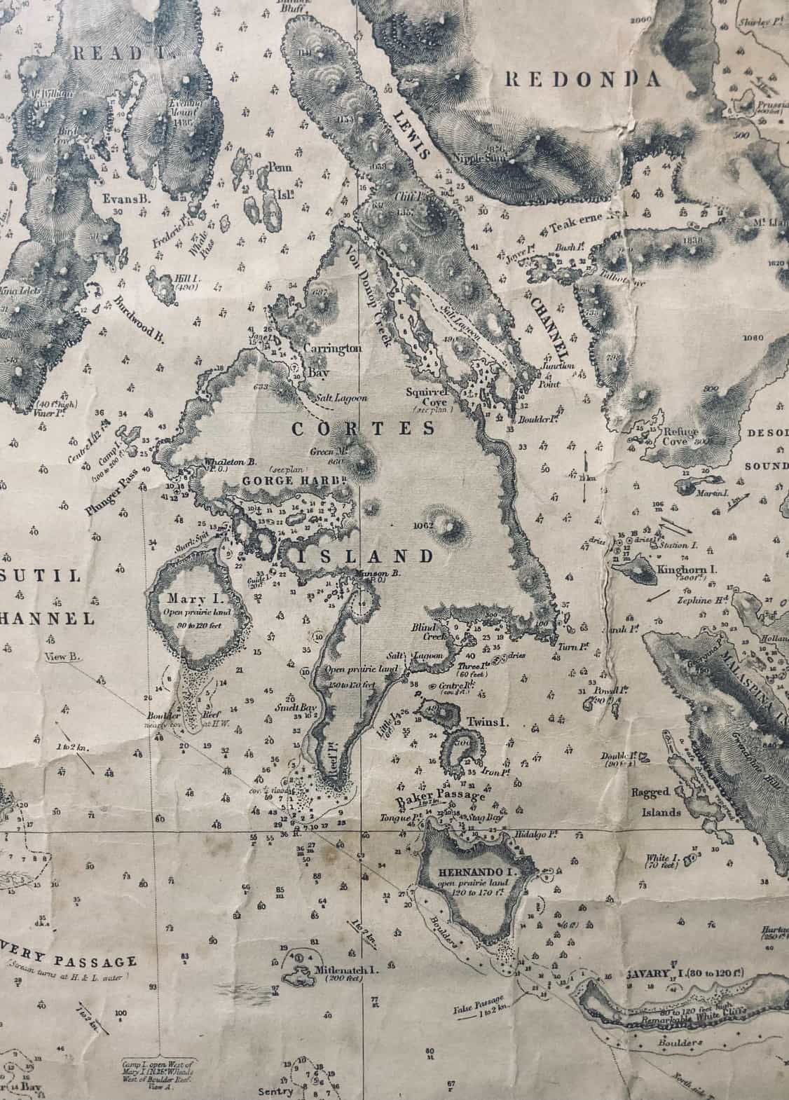
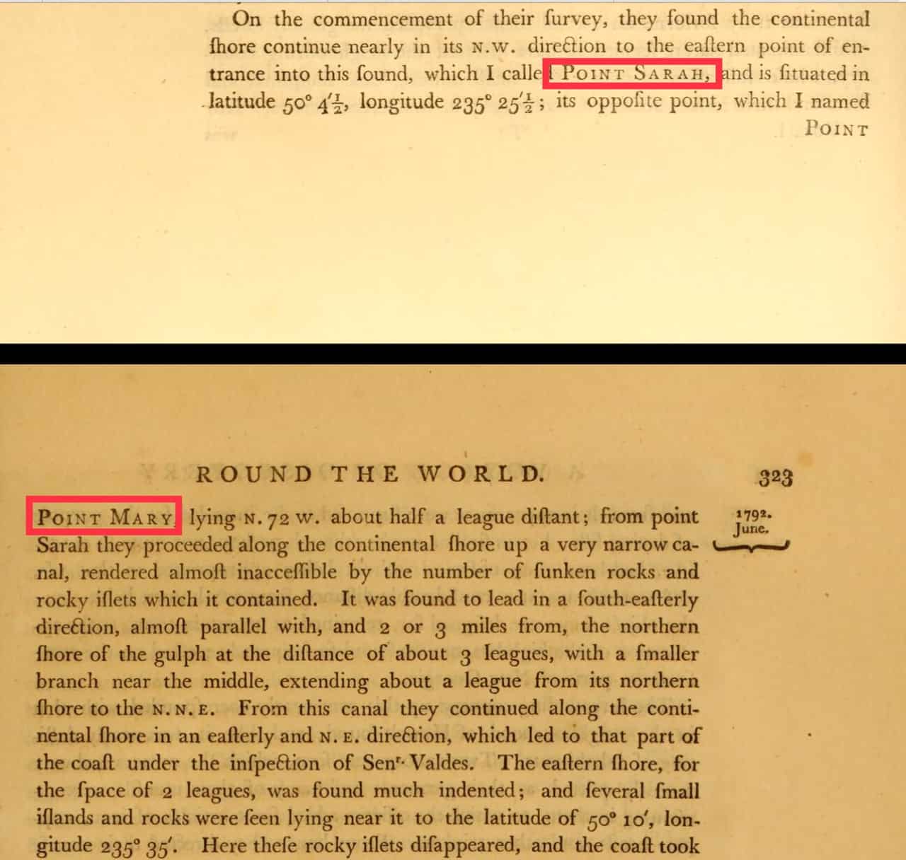
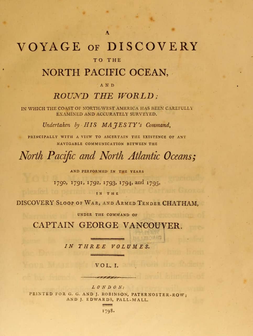
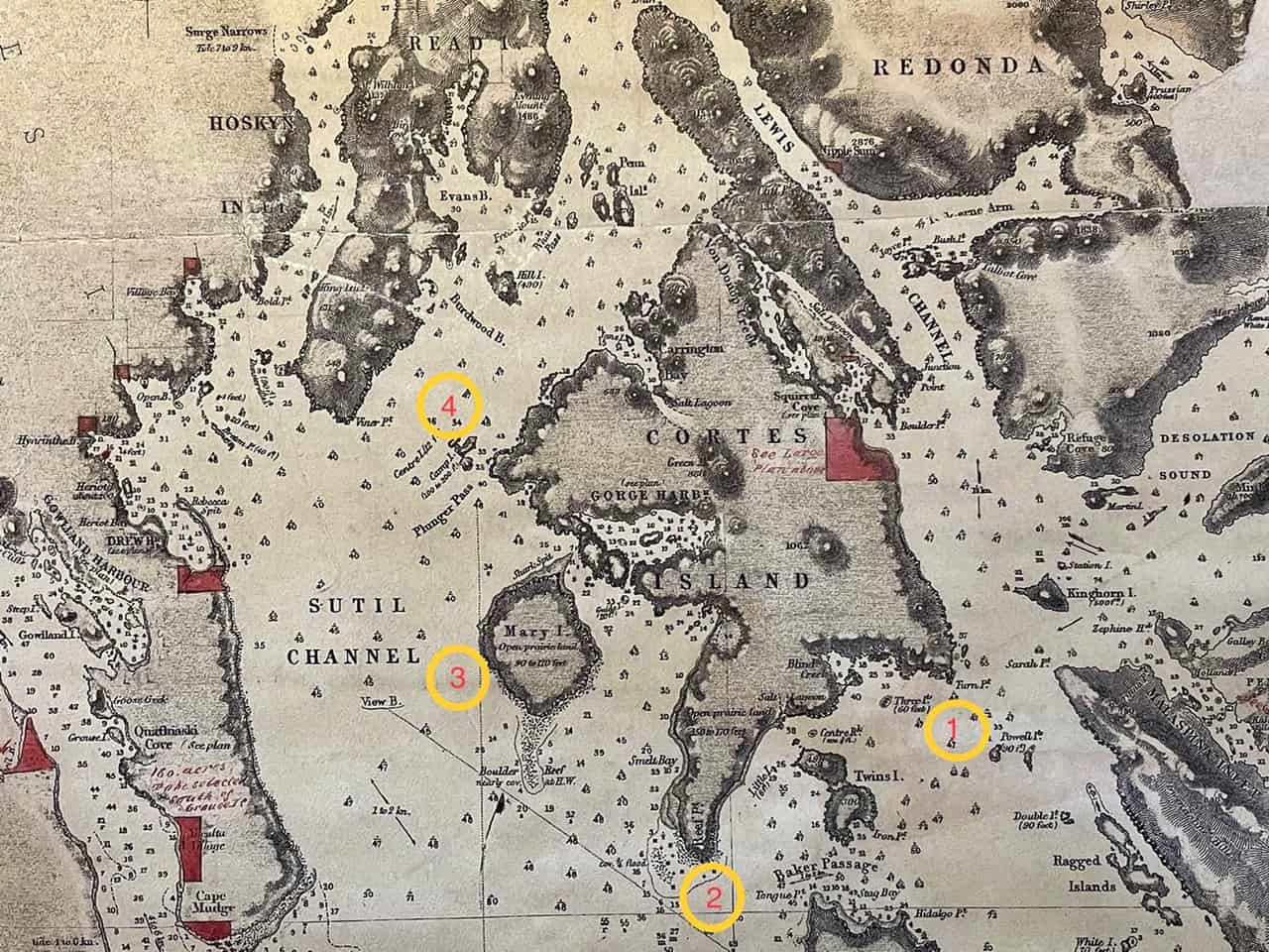
This map was produced by the British Admiralty. The survey was started in 1860 by Captain George Henry Richards of the Royal Navy and took a number of years to complete. In 1858, British Columbia was a new colony and there was a huge need for reliable mapping to facilitate commerce and settlement. The only mapping available dated from the voyage of Captain George Vancouver in 1792 and that of the Spanish expedition led by Galiano and Valdés. This new chart provided a base-map of the new colonial lands and the hydrographic information for transiting the inland waters. It also showed detailed soundings for potential future harbours. In addition, detailed navigation information was included, showing sailing instructions to avoid hazards (see the inset at the lower left with instructions for avoiding the reef on Marina Island, including the sketch of the profile of Camp Island).
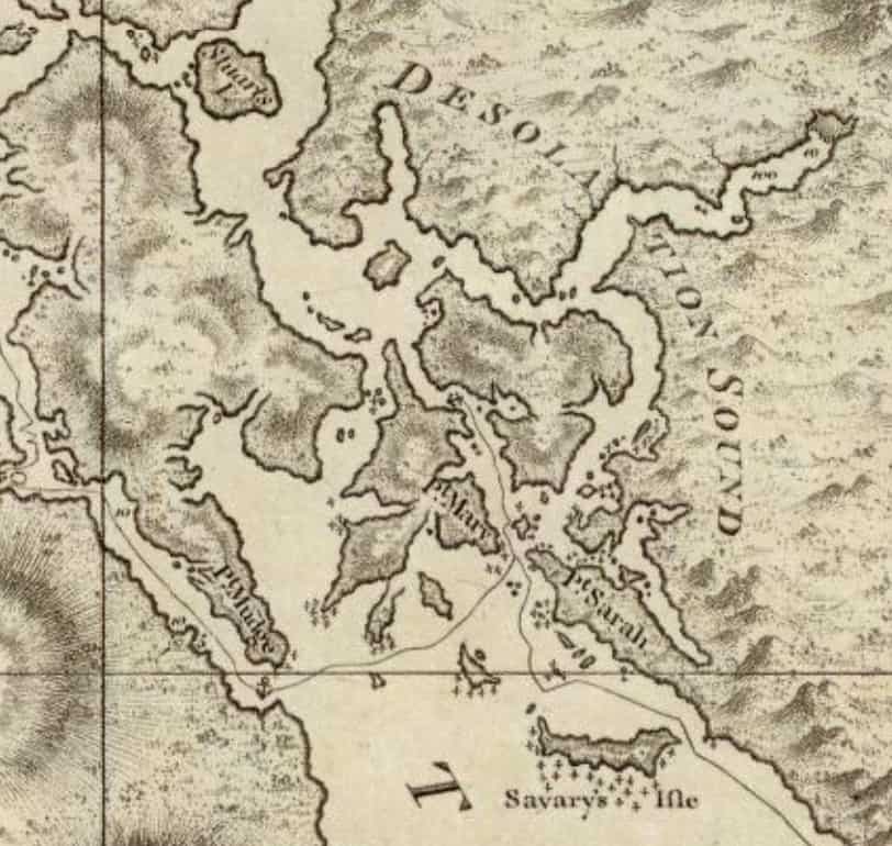
Other interesting notes are the comments regarding the suitability of the land for settlement, as recorded in notations on Mary Island and the southernmost end of Cortes Island, using the term “open prairie land.”
Over the years, after the first survey of 1860, there were changes made to some place names, in part because of duplication of names on charts by the British Admiralty and by the Canadian Hydrographic Service. Some of our most well-known local changes are of Mary Island to Marina Island, Turn Point to Mary Point, Reef Point to Sutil Point, and Camp Island to the Subtle Islands (labelled points 1 – 4).
